
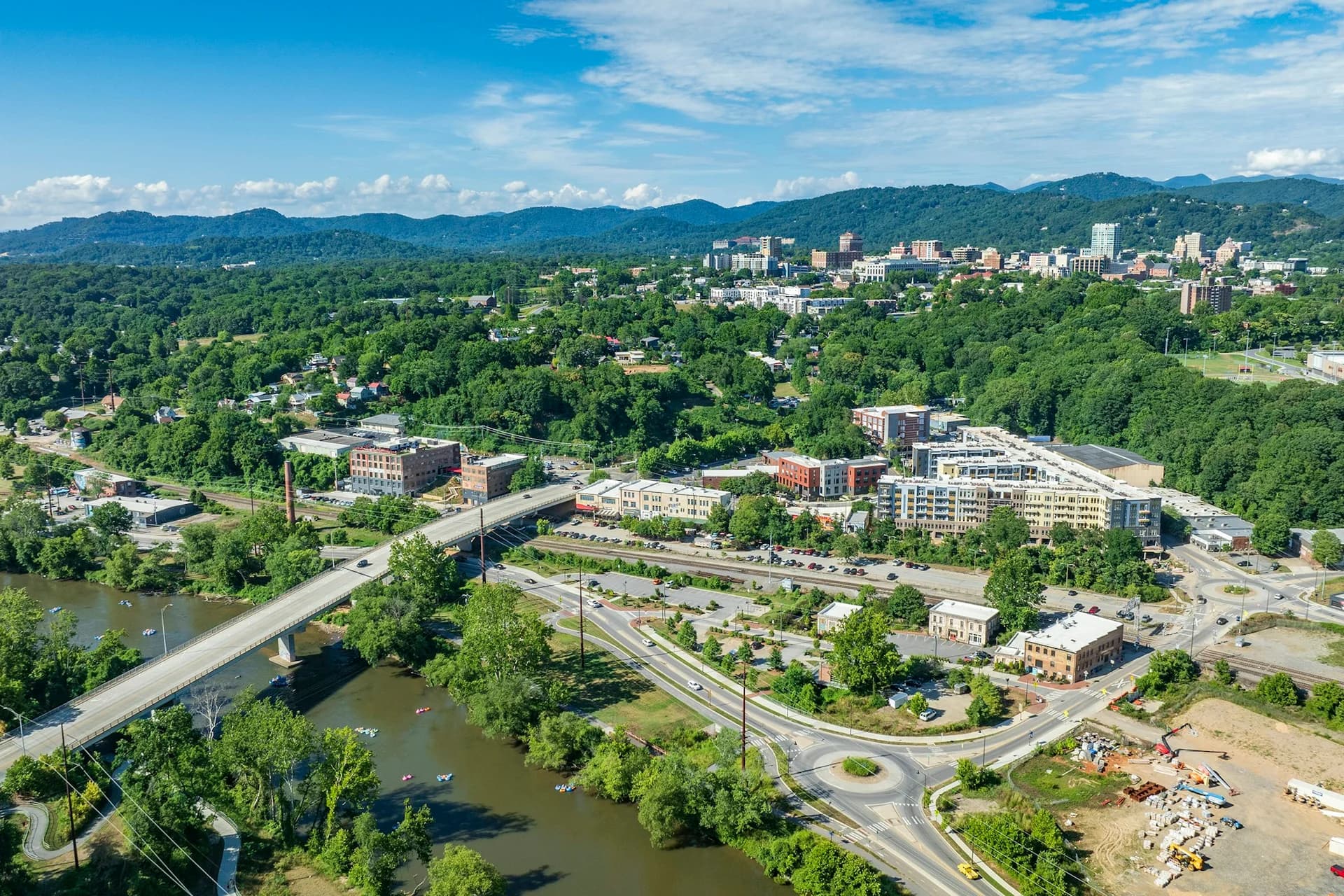
Great Smoky Mountains: Your Questions Answered by the Experts
The Great Smoky Mountains draw more visitors than any other national park in the country — outdrawing even marquee names like Banff, and yet most people arrive with the same handful of questions. Where do you fly in? Do you need to pay to get in? Where's the best base? Below are the answers that actually matter, grouped by topic, with a quick-reference table at the end.
Getting there
Which airport is closest? McGhee Tyson Airport (TYS), just south of Knoxville, is the closest and easiest. From there it's about a 1.5-hour drive south via TN-66 and US-441 through Sevierville and Pigeon Forge to Gatlinburg, the busiest gateway town.
Is a car necessary? Yes, absolutely. There's no public transit or shuttle inside the park, so a vehicle is essential. Reserve a mid-size car in advance — it handles the narrow mountain roads fine. Skip oversized RVs, which are banned from the motor-nature trails like Roaring Fork.
How's the cell signal and navigation? Thin to nonexistent inside the park. Download offline maps before you lose service — the NPS app works offline. The park straddles the TN/NC border but stays on Eastern Time throughout, so there's no time-zone confusion to worry about.
When to go
What's the single best time to visit? Mid-October for fall foliage, or April-May for wildflowers. Both are spectacular; October is busier.
What about summer? Fine, but humid in the valleys. The high peaks run 10-20 degrees cooler, so climbing is a natural way to escape the heat. Pack a rain layer year-round — weather turns fast above 6,000 feet.
Anything closed seasonally? Yes. The road to Clingmans Dome closes December 1 through March 31, and the Roaring Fork Motor Nature Trail closes entirely in winter. Plan around those if you visit in the cold months.
Where to stay
Which gateway town is best? It depends on your itinerary, because crossing the park takes about an hour each way. Gatlinburg and Pigeon Forge (TN) are lively, touristy resort towns with the most lodging and dining — the best base for Cades Cove, Clingmans Dome, and the Tennessee-side trails. Townsend (TN) is the quiet "Peaceful Side of the Smokies." Cherokee and Bryson City (NC) suit the southern and eastern sights, plus the Blue Ridge Parkway and the scenic railroad. Cherokee sits on the Eastern Band of Cherokee Indians reservation and pairs park access with living Cherokee culture.
Rule of thumb: base yourself on the side that matches most of your plans, and don't assume you'll casually pop across the park — that hour of Newfound Gap Road adds up.
What to do
What's the one unmissable thing? A dawn drive around the 11-mile Cades Cove Loop for wildlife — black bears, deer, and wild turkey in a broad meadow ringed by mountains, dotted with 19th-century cabins and a working grist mill.
Best short hikes? Grotto Falls (2.6 miles, the only waterfall you can walk behind), Laurel Falls (2.6 miles paved to a 60-foot cascade), and Andrews Bald (3.6 miles to a grassy summit meadow with the kind of high-country payoff hikers chase around Aspen). For a challenge, Chimney Tops (3.3 miles, steep) or the gentler Alum Cave Trail (4.6 miles).
What's the highest point? Clingmans Dome at 6,643 feet, reached by a steep half-mile paved walk to a spiral observation tower with 360-degree views. Skip the tourist crowds by arriving early — and don't forget it's road-closed December through March.
Anything beyond hiking? Plenty. Ride the Gatlinburg SkyLift to the SkyBridge (about $34), the longest pedestrian suspension bridge in North America. Do a moonshine flight at Ole Smoky (about $5). On the NC side, ride the Great Smoky Mountains Railroad through the Nantahala Gorge — one of the South's great scenic rail journeys, in the spirit of a drive down the Big Sur coast — or tour the Museum of the Cherokee People (about $16).
Budget
Is there an entrance fee? No entrance fee at all. But since 2023 any vehicle parked longer than 15 minutes needs a Park it Forward parking tag: $5/day, $15/week, or $40/year. Buy it online at smokiesinformation.org or at a visitor center — rangers do check, so don't skip it.
What will a day cost, roughly? Once you've covered the car, gas, and lodging, the park itself is cheap. Trails are free. Budget for the parking tag, a packed lunch (no food services on the crest), and the occasional paid attraction like the SkyLift or railroad. Fuel up in Sevierville, where gas is cheaper than in Gatlinburg.
Safety
How dangerous are the bears? The park has roughly 1,900 black bears. They're wild — never feed or approach them, and stay at least 50 yards (150 feet) away. Willfully getting closer is illegal. Store all food in bear-proof containers and never leave it out.
Any other hazards? Water, mostly. Waterfall pools like Abrams Falls and features like The Sinks have strong undertows — no swimming. And weather changes fast at elevation, so check road-closure status before driving up and always carry a rain layer and warm top.
Is the area safe overall? Yes. The park rates as generally safe (Level 1). The main risks are natural — wildlife, weather, water — not crime.
Quick Reference
| Detail | Info |
|---|---|
| Nearest airport | McGhee Tyson (TYS), Knoxville — ~1.5 hrs to Gatlinburg |
| Entrance fee | None; parking tag $5/day, $15/week, $40/year |
| Best time | Mid-October (foliage); April-May (wildflowers) |
| Highest point | Clingmans Dome, 6,643 ft (road closed Dec-Mar) |
| Size | 522,427 acres across TN and NC |
| Getting around | Rental car essential; no transit inside park |
| Cell signal | Very limited — download offline NPS maps |
| Bears | ~1,900; stay 50 yards (150 ft) back |
| Gateway towns | Gatlinburg, Pigeon Forge, Townsend (TN); Cherokee, Bryson City (NC) |
| Currency / Time | USD; Eastern Time throughout |
| Safety | Generally safe (Level 1) |
Arrive before 9AM at the popular spots, keep your distance from the wildlife, and let the fog work its magic. The Smokies reward travelers who plan a little and start early.


